
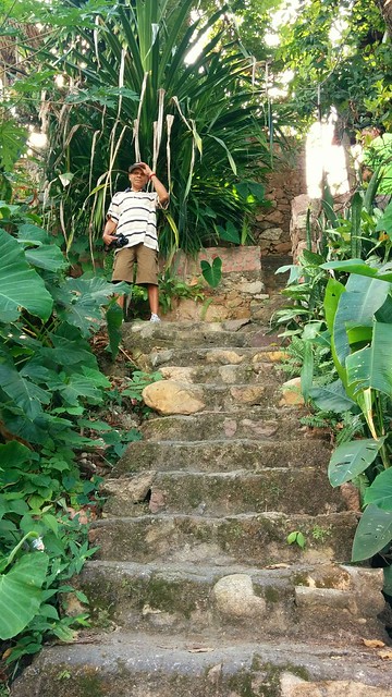
 Just a bit up our street, Aguacate turns into these steps. After the steep part, the road again resumes.
 Even when looking at a Puerto Vallarta map with elevations, it is a little difficult imagining the actual terrain. One might easily rent a place that would be very tough to get to. I guess that is why we really lucked out in arranging for this little place sight unseen.
See our part of town in Google Maps.
I think I first encountered something like this in Seattle, I never really got a good grasp on the house / street numbering system but this would be further exacerbated by a sudden ravine in the topography. The street might resume on the other side of the obstacle if one could figure out how to get there. Of course, all of this was during pre-GPS days, so perhaps that's a trouble that no longer haunts that region.