
As a kid I thought being able to draw and represent a piece of the world on paper was extraordinary. I learned that one could say things by using maps as a medium. I'd have much rather read an atlas than a story in junior high. I partially blame my wanderlust as a result of dreaming about places in the world first seen on a map.
Of course, I've said how awesome Google Maps is many times. I appreciate the company for search, but respect them more for figuring out how to show me the world inside my browser or app. It does seem that Google never rests. Inspiring technology like GPS navigation now seems old hat. Still, I can only imagine what features will materialize over the next few years. This is truly, amazing stuff.
I can start with an image from space and jump right down to street level. Something like this never existed even in the scifi from my youth. Unfortunately not all cities have been scoured by a Google van. In today's case, it is a shame. We are already in our research phase for where we'll spend next winter. It's interesting to see a place in context to the larger planet.
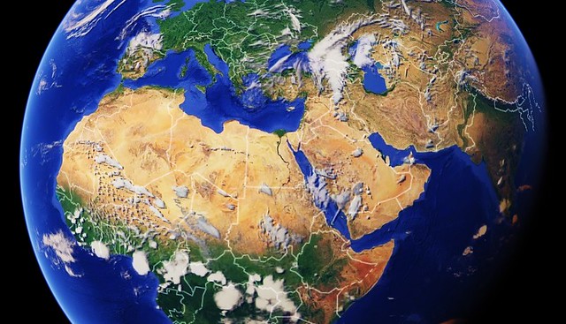
Click on the image above, and Google Maps will open in a new browser tab. Ensure that you are in "Earth Mode" to see as satellite images. Then, you may slowly use the + option to zoom in more closely. Each click will bring you closer and closer to the place we will rent. Hopefully, you'll land right in our future neighbourhood.
[NOTE FOR APP USERS: Google Maps generally defaults to showing the image in a medium-range view. You may try keeping the pin centered and pinch or un-pinch to see the location as it relates to a more intimate or more global view.]